Inside a Cup of Turkish Coffee: How a Mystic Drink Impacted Politics, Cultures, and Lifestyles In Europe and The Middle East
by Leon Barkho

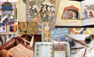
Browse through selected images taken from Muslim Heritage articles related to Geography...

“Everywhere’s been where it is ever since it was first put there. It’s called geography.” ― Wyrd Sisters
…


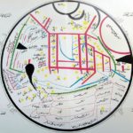


Images are taken from the following articles:
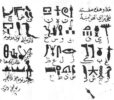
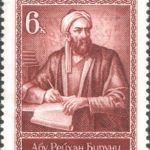
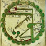
Manuscript Review: ‘The Indica’ or ‘Al-bayruni’s India,’ by Al-Bayruni by N.A. Baloch
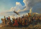
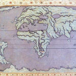
When the World was Upside Down: Maps from Muslim Civilisation by Cem Nizamoglu, Khaleel Shaikh
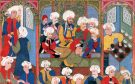
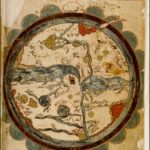
The Oldest Map of Japan Drawn by Mahmud of Kashgar by Sevim Tekeli
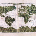
Earliest maps of America by Sevim Tekeli
***
“Can you see the sunset real good on the West side? You can see it on the East side too.” ― The Outsiders
Discover the golden
age of Muslim civilisation.
© Copyright FSTC Ltd 2002-2020. All Rights Reserved.